Built from curiosity. Grounded in service.
TwoBit Aerial is an owner-operated Southwest Missouri company built around a simple idea: advanced tools matter most when they produce clear, useful work for real people.
Jeremy Berry, owner and operator
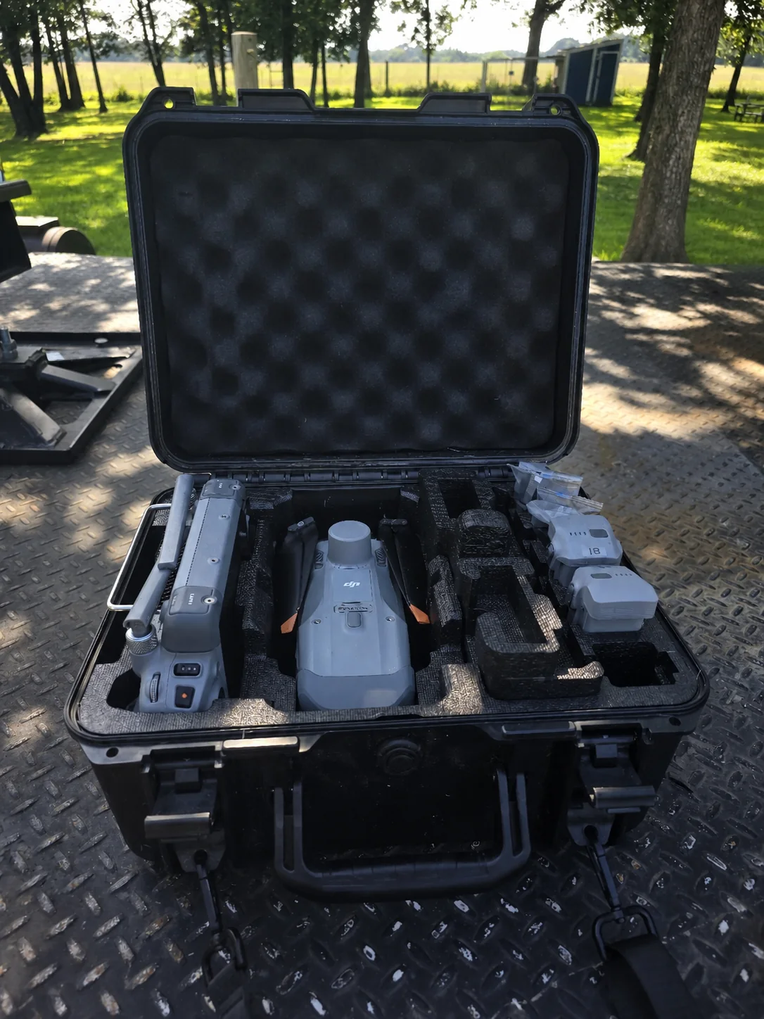
Why I started TwoBit Aerial
Flight / mapping / modeling / useful delivery
I started TwoBit Aerial because I believed Southwest Missouri had room for a local provider that could combine capable drone technology with thoughtful processing, clear communication, and useful deliverables.
I have always been fascinated by flight, but the real appeal goes beyond flying. I enjoy turning captured imagery and information into maps, 3D models, visual records, and organized deliverables that help people better understand a property or project.
This work fits the way I am wired. It combines time in the field with computers, technology, problem-solving, and the satisfaction of making something useful. It is also a field with real depth—there is always more to learn, another skill to develop, and a better way to approach the work.
Faith that shapes how I work
My faith in Jesus Christ is central to who I am. I find peace and direction in God's Word, and I have experienced His faithfulness through some of the darkest places in my life. That faith calls me to operate with honesty, transparency, humility, and care for the people I serve.
“For we are His workmanship, created in Christ Jesus for good works, which God prepared beforehand so that we would walk in them.”
Values in practice
The values only matter if they change how the work is scoped, communicated, captured, and delivered.
- 01
Honesty
Be clear about what the work can and cannot establish.
- 02
Transparency
Explain the scope, limitations, deliverables, and expectations before the work begins.
- 03
Useful service
Deliver organized material that serves a real purpose—not imagery without context.
- 04
Continual learning
Keep improving the flight, processing, mapping, modeling, and delivery workflow.
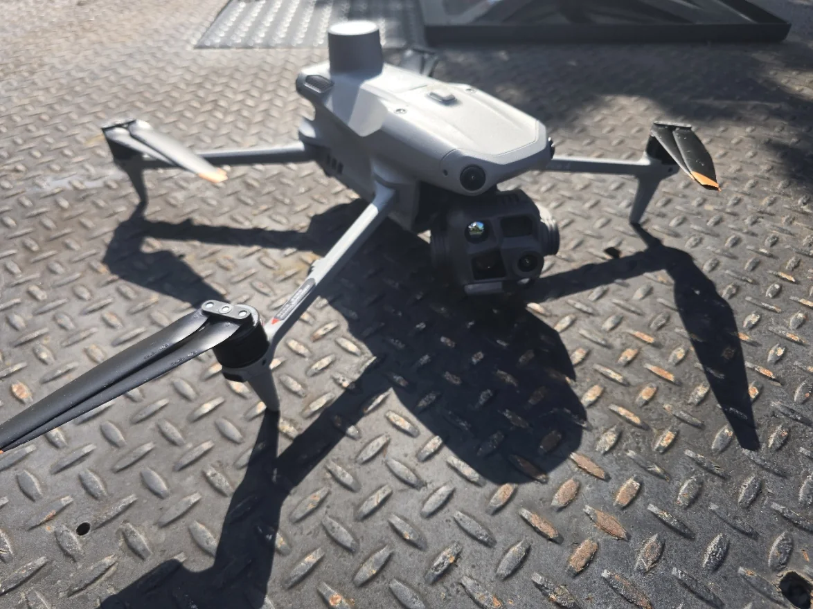
Tools in service of the outcome
The aircraft, controller, mapping workflow, thermal and visual cameras, and computer processing are not the finished product. They are the tools used to build clear documentation and practical deliverables.
- DJI Matrice 4T
- RGB and thermal capability
- Zoom capability
- RTK-capable workflow
- Orthomosaic mapping
- 3D model views
- Organized file delivery
Have a property or project that needs a clearer view?
Share the location, what you need to understand or document, your timing, and the deliverable you have in mind.