Commercial drone services

Commercial drone services organized around clear deliverables.

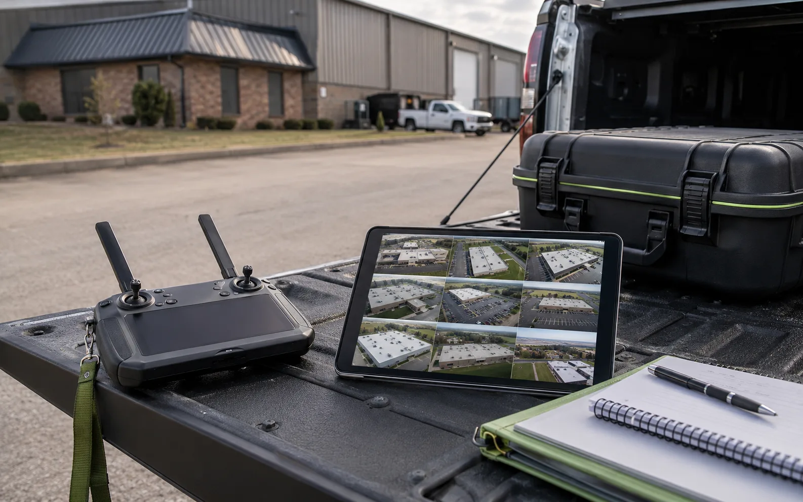
Drone controller, field tablet, project notes, and equipment case on a truck tailgate at a commercial property site.
Inspection / Mapping / Thermal

TwoBit Aerial helps Bolivar and Southwest Missouri teams match each project to the useful output: inspection support, mapping, thermal screening, progress records, or approximate volume documentation.

Service area
Bolivar and Southwest Missouri
Flight standard
FAA Part 107 operation
Project fit
Documentation, screening, and planning support

Review-ready outputs

See the deliverable before the flight.

The best service choice starts with the file or reference your team needs afterward: documentation packages, map views, paired thermal context, dated progress records, or approximate volume support.

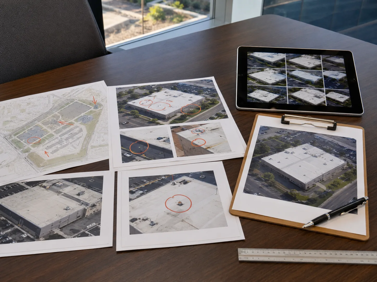
Commercial roof documentation packet with aerial photos, marked site map, tablet gallery, clipboard, ruler, and pen.
Example Package

Example deliverable format

A review-ready package, not just a gallery.

Each service should end with context your team can review: overview images, detail references, notes, caveats, and a clear path for follow-up.

Use the output rows to compare what the project needs after the flight, then move into the matching service detail.

Service-specific limits still apply; drone outputs support documentation, screening, and planning.

Compare output paths
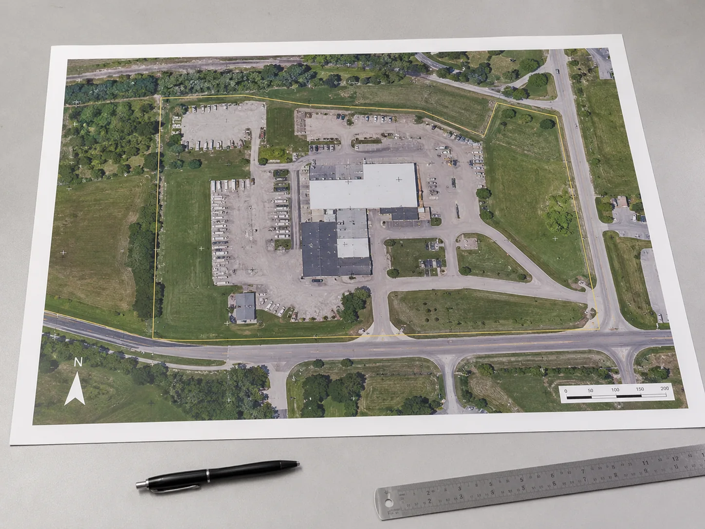
Printed orthomosaic-style site map with property boundary, north arrow, scale bar, pen, and ruler.
Map-Style Site Context

Orthomosaic map-style output

Map-style aerial imagery for site context, comparison, and records.

Orthomosaic exports and supporting visual context.

Planning and documentation reference; not a legal survey.

Review mapping options
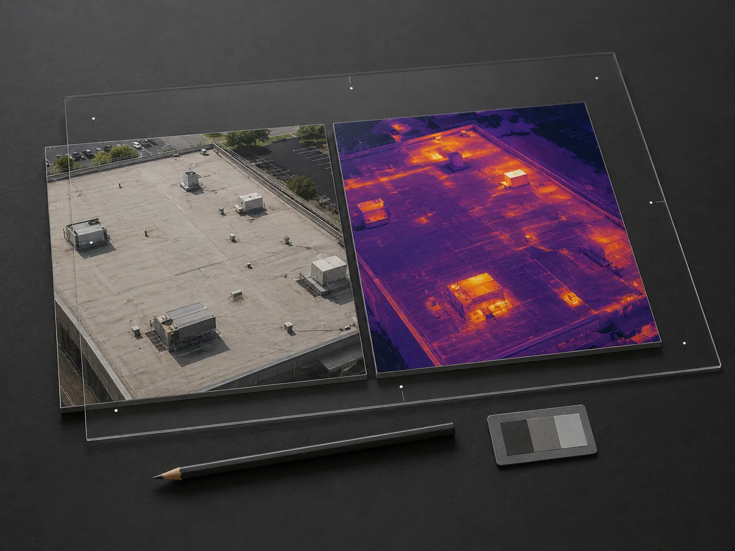
Paired RGB and thermal roof image tiles on a dark review surface with acrylic alignment marks and calibration card.
RGB + Thermal Review

Thermal and RGB screening pair

Condition-timed thermal screening paired with visual references.

Thermal views, RGB references, screening notes, and condition caveats.

Screening support only; not moisture, leak, or defect diagnosis.

See thermal screening
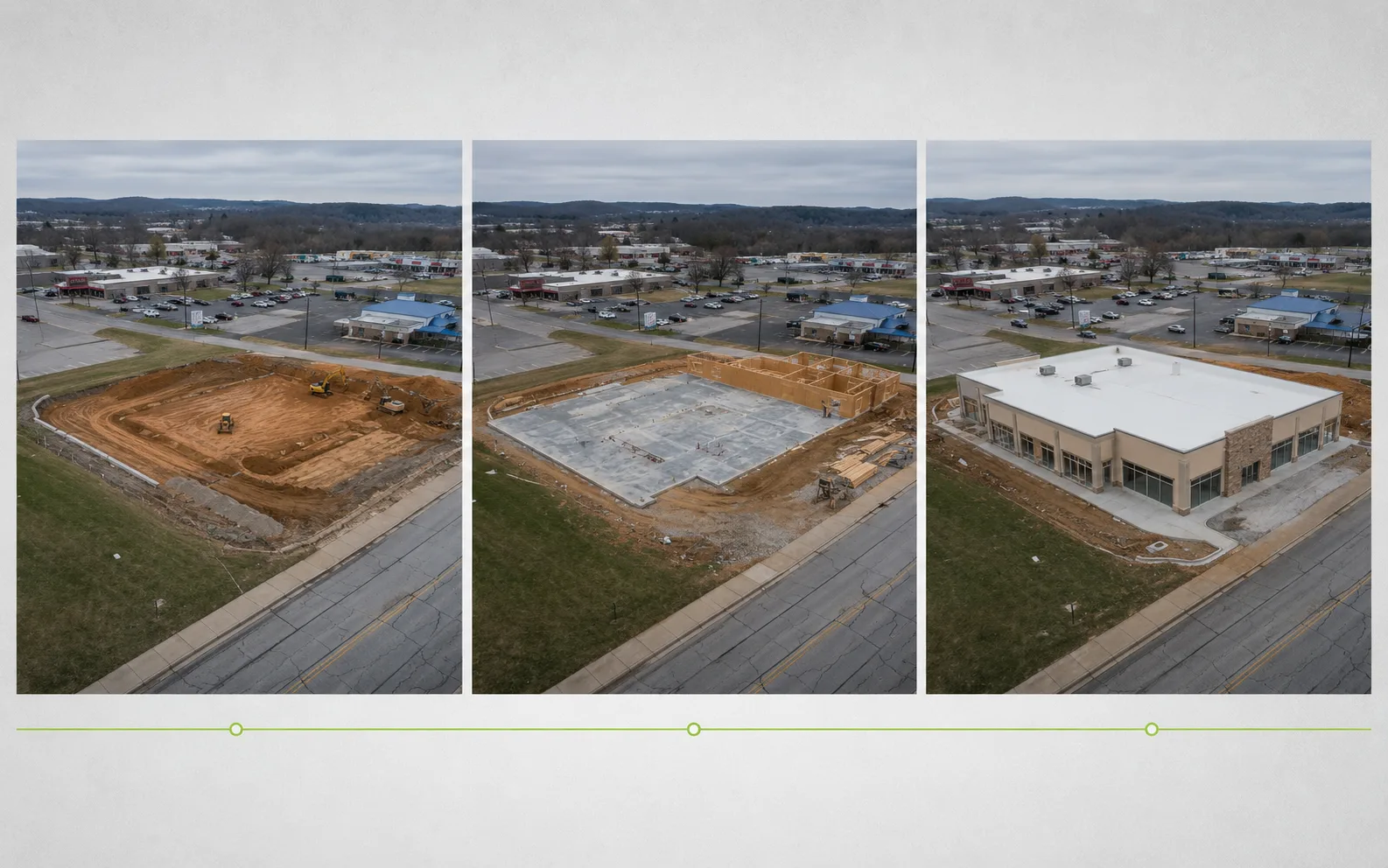
Three aerial construction progress views presented as a visual timeline for project documentation.
Progress Records

Recurring progress documentation

Repeatable site capture for dated records and stakeholder updates.

Date-based progress sets, milestone views, and stakeholder-ready records.

Plan progress captures
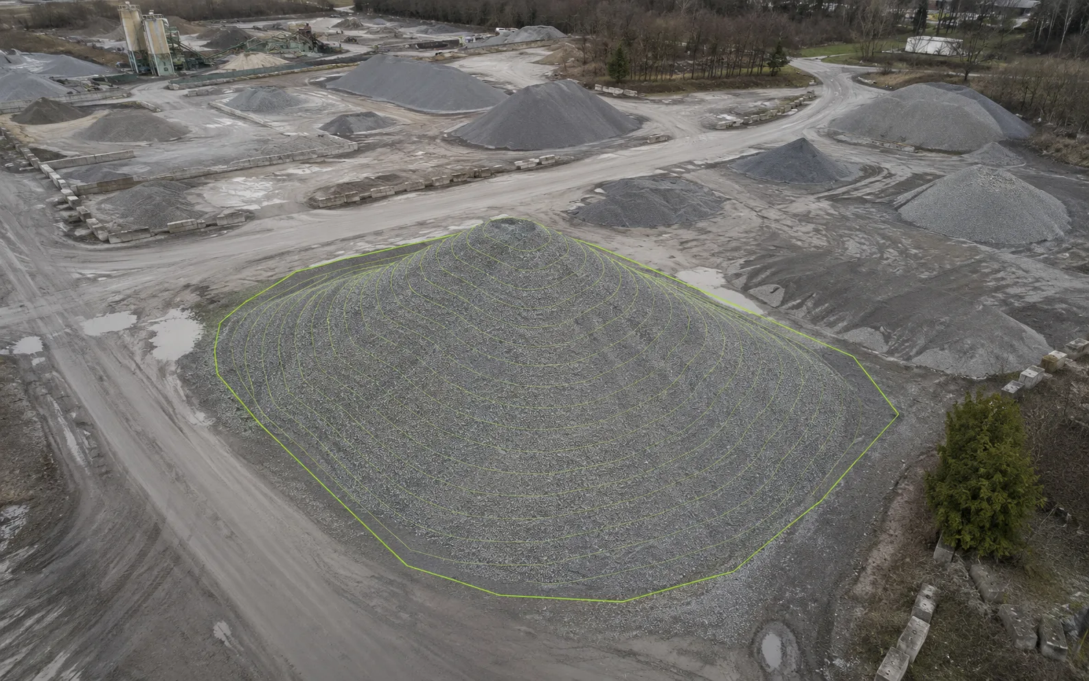
Aerial stockpile view with contour-style reference lines for approximate volume documentation support.
Approximate Volume Support

Approximate volume documentation support

Stockpile and surface-view documentation for planning support.

Approximate volume summaries with supporting surface views.

Approximate planning support; not certified measurement.

Review volume support

How the work moves

From site details to organized delivery.

The goal is not just a flight. It is a scoped, review-ready output your team can use for records, planning, and follow-up conversations.

  1. 01

    Confirm the site

    Share the location, access notes, timing, and reason for the drone work.

  2. 02

    Choose the output

    Match the service to the file, view, or documentation package your team needs.

  3. 03

    Plan the capture

    Scope flight timing, weather, site constraints, and deliverable expectations before launch.

  4. 04

    Process and organize

    Build clean files, references, and documentation packages around the agreed scope.

  5. 05

    Deliver for review

    Send organized outputs that support follow-up conversations and records.

Clear service limits

Know what the drone work can and cannot support.

Inspection support

Drone imagery supports documentation and review; it does not replace licensed hands-on inspection.

Mapping references

Orthomosaic and measurement outputs support planning and records; they are not legal surveys.

Thermal screening

Thermal imagery is condition-dependent screening support and does not prove moisture, cause, or diagnosis by itself.

Approximate volumes

Volume calculations are approximate, scope-dependent, and shaped by site and capture conditions.

Service details

Move into the service detail that matches the job.

Use these deeper service details to compare outputs, limits, and quote context before sending the project scope.

Every current service path / one directory

Service FAQ

Questions before choosing a service.

Which drone service should I choose first?

Start with the output you need: inspection documentation, map-style site context, thermal screening, construction progress records, or approximate volume documentation support.

What do commercial drone service deliverables usually include?

Deliverables can include organized aerial image sets, overview and detail references, orthomosaic imagery, thermal and RGB pairs, date-based progress folders, or approximate volume summaries depending on the scope.

Can drone imagery replace an inspection, survey, or diagnosis?

No. Drone imagery supports documentation, screening, planning, and review, but it does not replace licensed inspection, legal survey, engineering, diagnosis, or insurance decisions.

What affects pricing?

Pricing depends on site size, access, travel, timing, weather, capture complexity, processing needs, and how organized or report-ready the deliverables need to be.

What should I send before requesting a quote?

Send the location, service need, timeline, intended use of the deliverables, and any existing photos, plans, maps, or site notes that help define the scope.

Quote prep

Send these details first.

  • Location
  • Service need
  • Timeline
  • Intended use
  • Existing files or notes

Ready to scope

Send the details that shape the quote.

A useful quote starts with the site, service need, timeline, intended use, and any existing photos, plans, maps, or notes.