Selected project work

Drone mapping and inspection projects.

Real project imagery and deliverables, published with permission, privacy review, and clear claim boundaries. Explore how current aerial capture becomes useful maps, screening references, planning sheets, and organized visual records.

Reviewed project mediaPractical deliverablesClaim-safe context

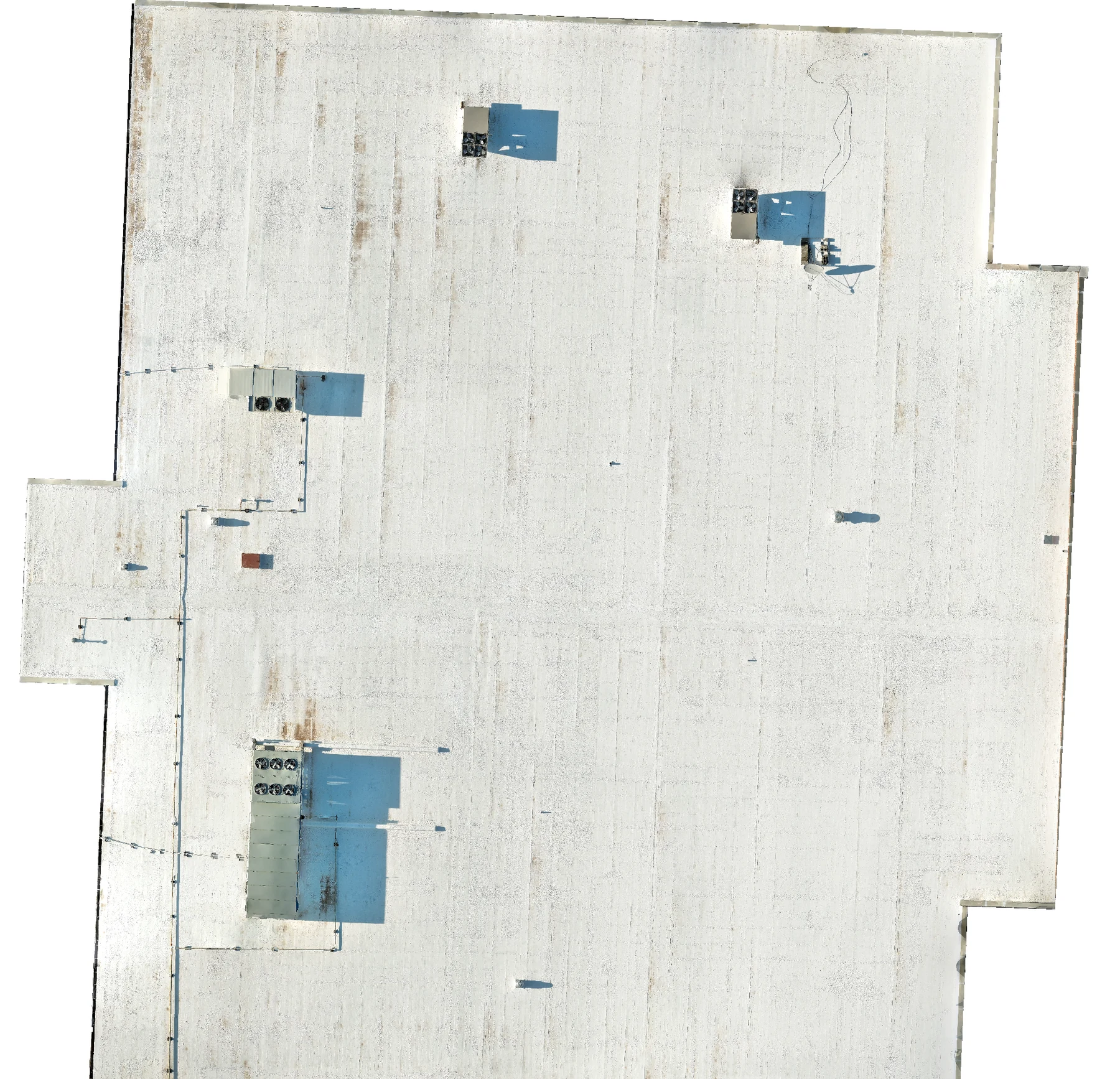
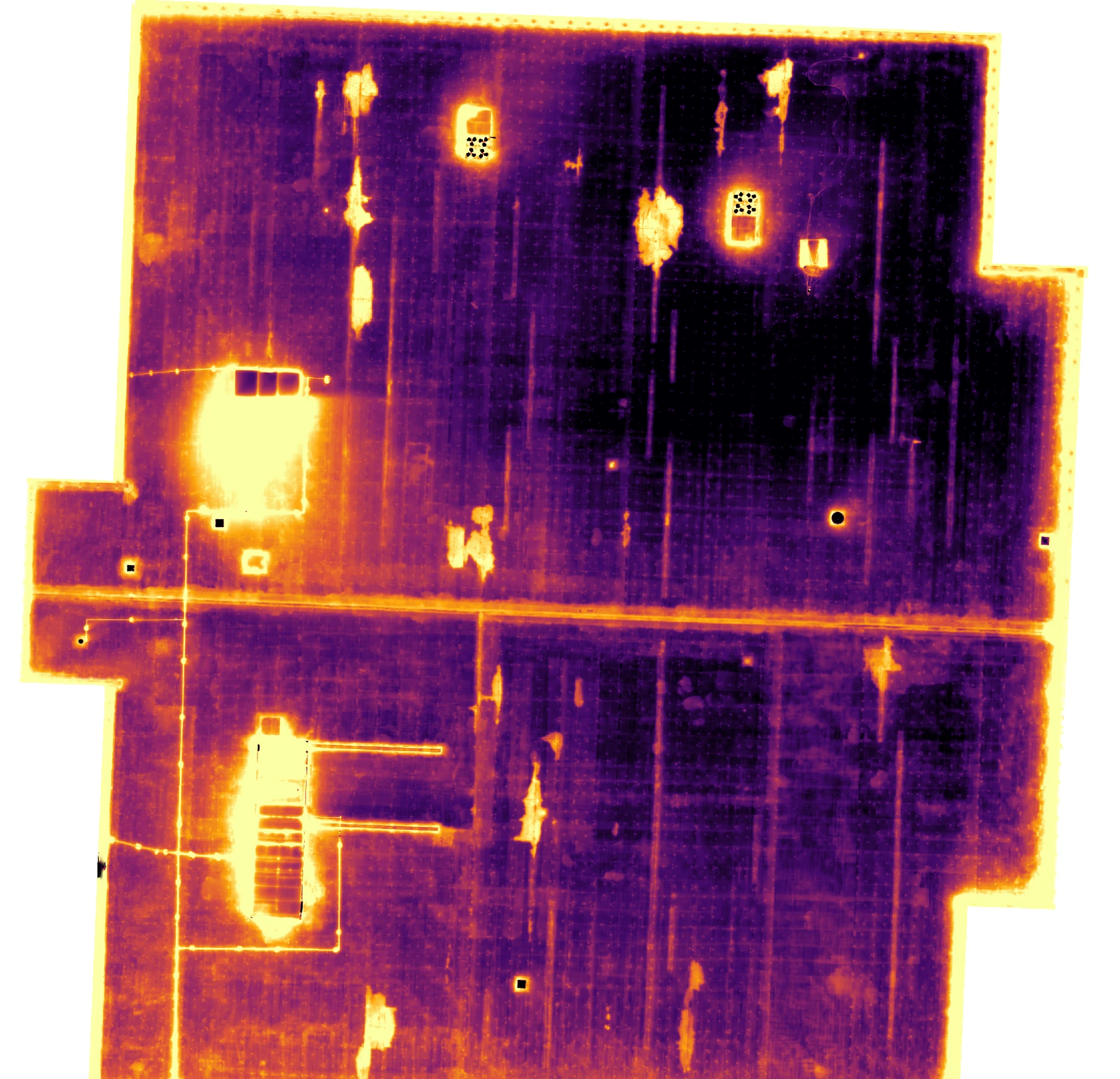
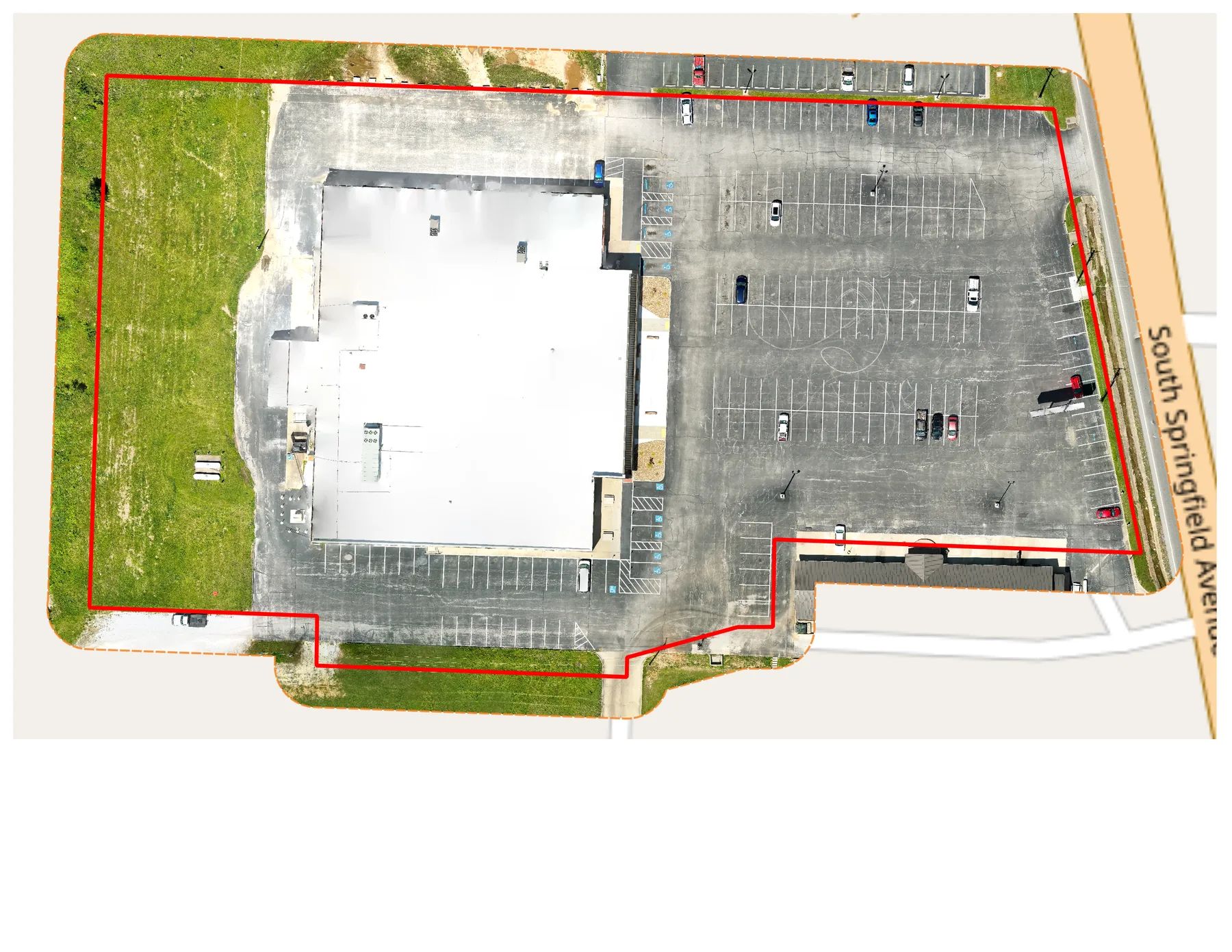
RGB roof context paired with thermal screening support.

RGB + thermal pair
Iron Red thermal
Approximate overlay

Project library

Choose a project to explore.

Each project opens to its own documented scope, imagery, deliverables, and limits. The hub stays concise so you can compare the work before opening a full project record.

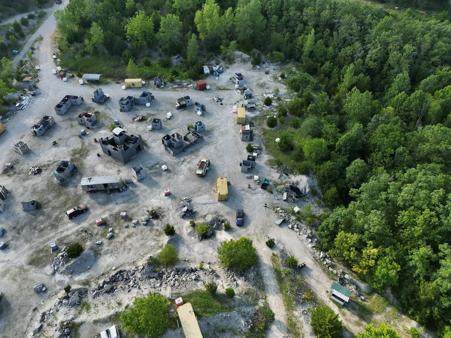
Oblique aerial view of The Rock Airsoft staging area and field structures in Bolivar, Missouri.

Bolivar, Missouri / July 2026

Orthomosaic, terrain, and field-map documentation

The Rock Airsoft terrain and field-map package

A terrain-rich field-mapping project that combines current aerial imagery with contours, a player-reference grid, routes, water features, and working zone references for a large outdoor venue.

Orthomosaic mappingTerrain contextCustom map delivery
View project details
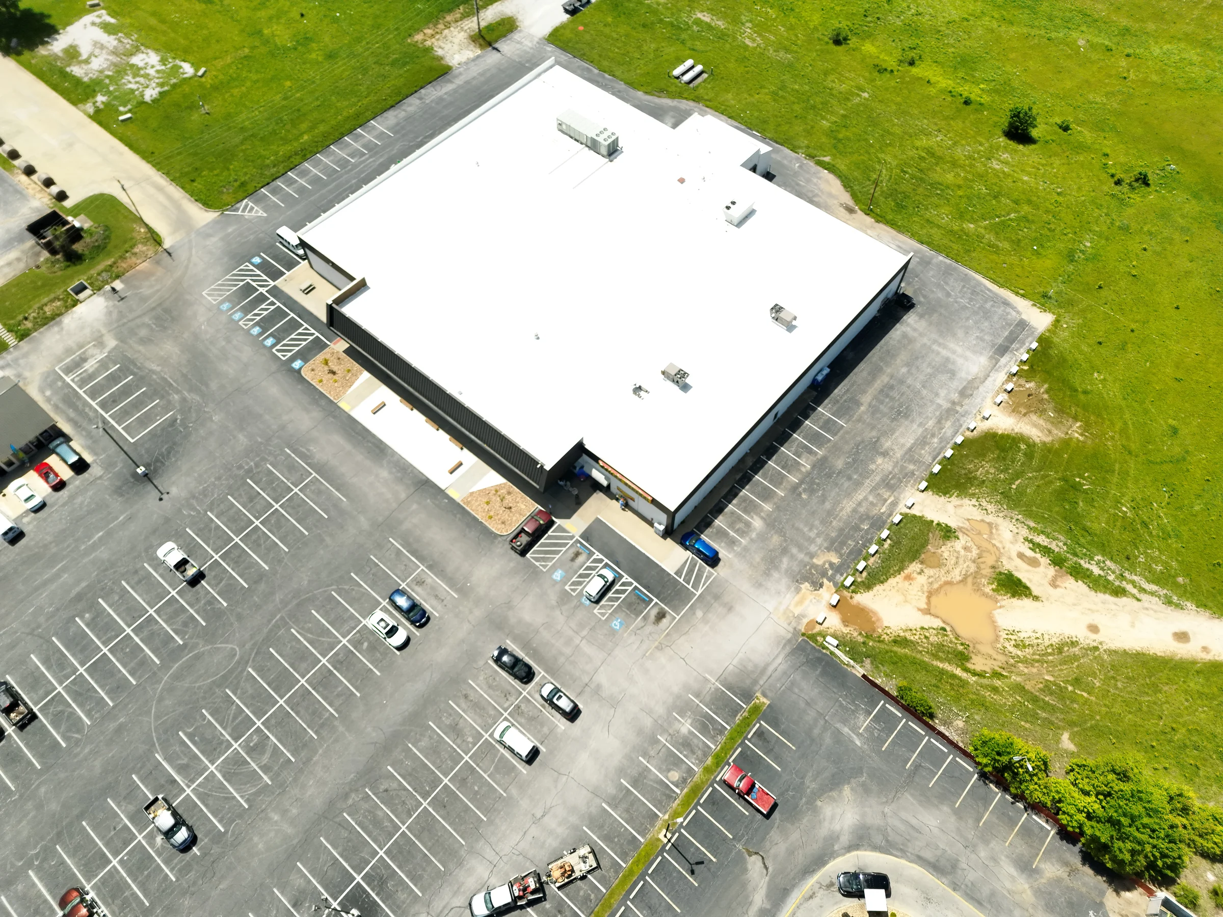
Oblique aerial view of The Hill Church building, roof, parking area, and surrounding property in Bolivar, Missouri.

Bolivar, Missouri / May 2026

Property mapping, roof documentation, and thermal screening

The Hill Church aerial mapping and thermal screening

Property-scale mapping, visible-light roof context, and nighttime thermal capture were organized into one review-ready project record.

Property mappingRoof documentationThermal screening
View project details
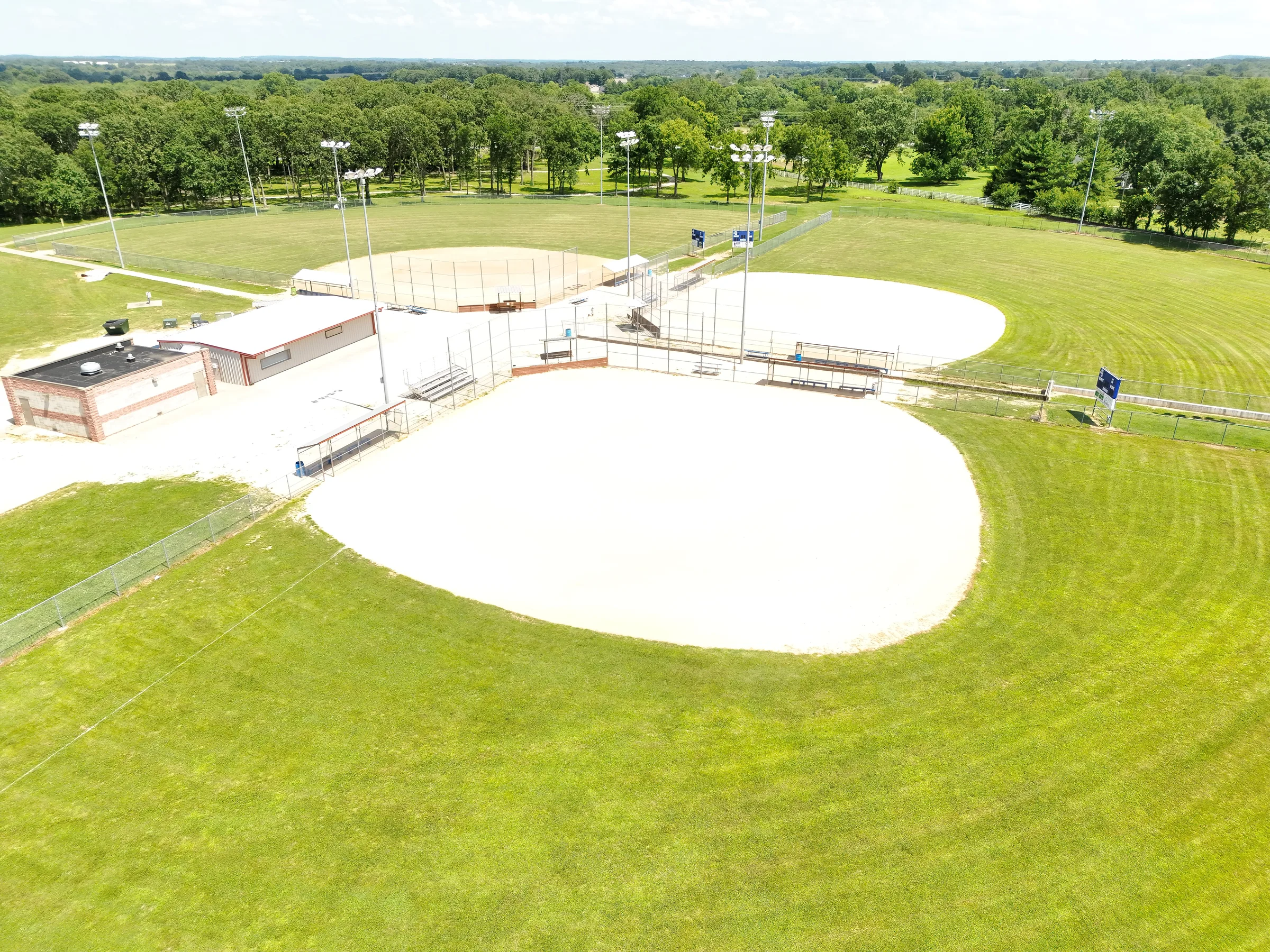
Oblique aerial view of the central Fullerton Ball Fields diamonds, support buildings, and surrounding outfields in Bolivar, Missouri.

Bolivar, Missouri / July 2026

Orthomosaic mapping and planning documentation

Fullerton Ball Fields mapping and planning package

A site-wide orthomosaic and planning package that turns a large recreation complex into a clear visual reference for field geometry, parking, paths, buildings, and future site conversations.

Orthomosaic mappingSite documentationPlanning support
View project details

Publication standard

Published only when the example can stand up to review.

Project examples should show the deliverable clearly, keep sensitive details controlled, and state the limits of what the imagery can prove.

Permission and privacy reviewed

Public examples use approved visual context while keeping client identity out of the page.

Deliverable shown clearly

Images are cropped and presented so buyers can understand the actual output, not just a gallery thumbnail.

Repeatable project format

Each featured example should show visual proof, buyer use, review outputs when appropriate, deliverables, and publication limits.

Limitations stated

Thermal views are screening support only, and boundary overlays are not a legal survey.

Attribution stays with map visuals

Basemap and OpenStreetMap context is credited near the image when it remains part of the example.

Have a project that needs this level of documentation?

Send the site, goal, timing, and intended use. TwoBit can recommend the right capture plan and deliverable format.