Frequently asked questions
Straight answers before you schedule.
What fits, what affects price, what you receive, and where drone documentation has practical limits.
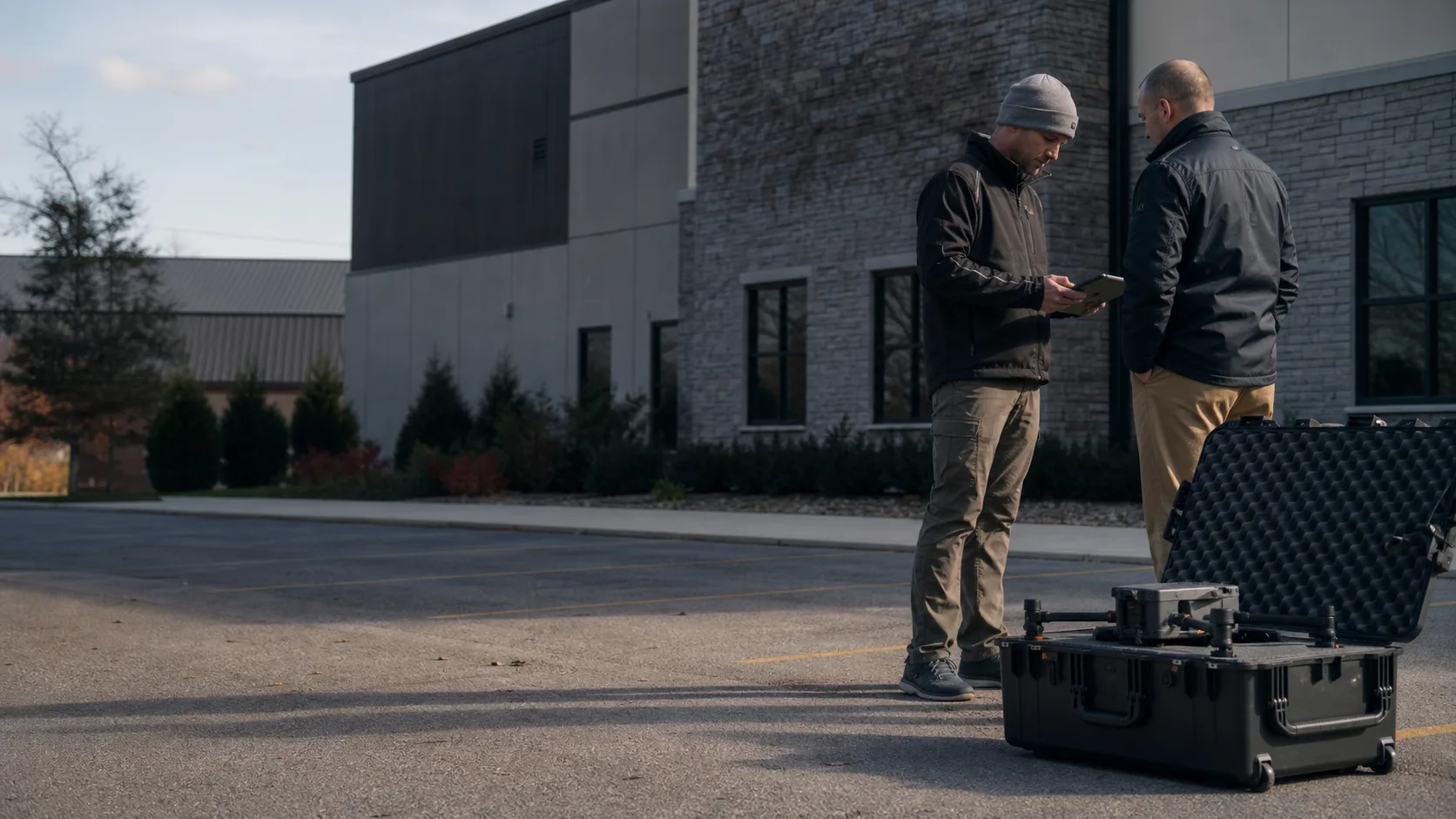
Illustrative project-planning scene
Useful detail, without the fine-print feeling.
Project fit
What kinds of projects are a good fit for TwoBit Aerial?
Projects are a good fit when aerial imagery can improve documentation, visibility, or decision support. Common scopes include commercial roof and exterior documentation, thermal screening support, storm records, orthomosaic mapping, construction progress, approximate stockpile volume documentation support, and commercial property records.
Can you handle both one-time visits and recurring documentation?
Yes. A project can be scoped as a single visit, milestone capture, or repeat schedule. For recurring work, we confirm the capture area, viewpoints, file organization, cadence, and any summary deliverables so each visit remains useful and comparable.
What information do you need to confirm the scope?
Start with the site address, what you need documented, the decision or workflow the files will support, preferred timing, and who needs the deliverables. Photos, site plans, access notes, known hazards, and examples of the desired output can help us quote more accurately.
Pricing & travel
How are drone projects priced?
Pricing starts with the service category, then adjusts for site size and complexity, the number of structures or capture areas, deliverable type, thermal or recurring-report needs, travel, access, and operating constraints. The quote defines the agreed scope before scheduling.
What does “starting at” mean on the pricing page?
It is the entry point for a straightforward version of that service, not a promise that every site fits that amount. Once we understand the location, capture plan, processing, and delivery needs, we provide a scope-specific quote.
Do you travel outside Bolivar and Southwest Missouri?
Pricing includes travel for most jobs within 30-45 minutes of Bolivar, Missouri. Jobs farther out may include a travel charge based on distance, drive time, and scope. Share the site address early so travel time and any location-specific operating considerations can be reviewed before scheduling.
Deliverables
What will I receive after the flight?
That depends on the scope. Deliverables may include organized aerial image sets, close-detail views, annotated screening imagery, orthomosaic outputs, progress records, surface or volume-support views, and concise summary material. Your quote identifies what is included.
Can the files be organized for my contractor, owner, or project team?
Yes. We can structure the agreed package by location, date, building, capture area, or project milestone so the files are easier to review and share. Distribution-ready summaries or additional curation should be included in the scope rather than assumed afterward.
How quickly are deliverables available?
Turnaround is confirmed with the quote because it varies with capture volume, processing, annotation, and reporting needs. If a deadline matters, include it in the initial request so feasibility and delivery timing can be agreed before the flight.
Scheduling & site
How far ahead should I schedule?
Earlier notice provides more flexibility, especially for thermal work, recurring documentation, larger sites, or locations that need added review. We can also evaluate shorter-notice requests, but availability and safe operating conditions still control the schedule.
What happens if weather or site conditions change?
Wind, rain, visibility, temperature patterns, site activity, access, and airspace conditions can affect whether a useful and safe capture is possible. If conditions do not support the agreed work, we coordinate a better window rather than force a low-value flight.
Do I need to be on site during the flight?
Not always. We do need confirmed permission, safe access, a reliable site contact, and clear information about hazards or active operations. Whether someone must meet us is decided during scoping based on the property and capture plan.
Capabilities & limits
Is roof or thermal work an inspection or diagnosis?
No. TwoBit Aerial provides visual documentation and thermal screening support. We do not diagnose roof conditions, certify code compliance, guarantee leak detection, or replace evaluation by a qualified roofer, engineer, electrician, or other appropriate professional.
Are maps, measurements, or volume outputs survey-grade?
No. These are RTK-capable, non-survey documentation outputs for planning and reference support. They are not boundary surveys, construction staking, engineering certification, or a substitute for work by a licensed surveyor when legal or survey-grade results are required.
Can a drone flight be completed at every site and under any conditions?
No. Airspace, weather, people and activity on site, access, nearby hazards, and the requested operation all affect feasibility. We review the location and scope first, obtain required authorization when applicable, and only proceed when the work can be completed safely and lawfully.
Still deciding whether the project fits?
Send the location, timing, and the decision your visual record needs to support.