Property address or general location
Commercial drone project inquiry / Missouri
Start your commercial drone project.
Share the site, useful-output goal, and timing. TwoBit Aerial will review the practical scope and respond with a clear next step.
Direct emailDirect phoneNo public upload form
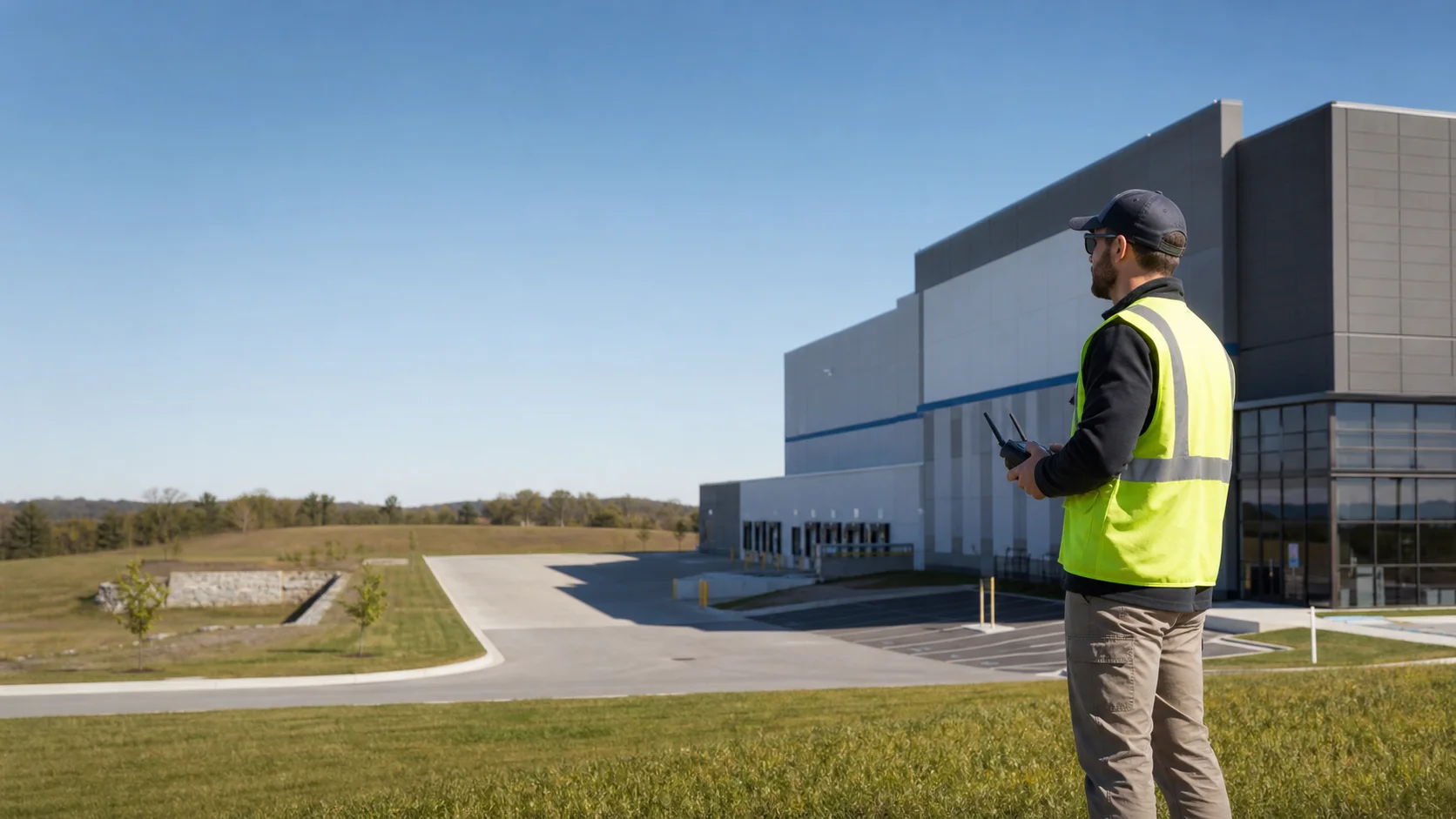
Illustrative field-planning image
Contact paths
Choose the fastest contact path.
The fastest path is usually a direct email with the address, photos or plans, and a short explanation of what decision the deliverables need to support.
What to send
Enough context to quote the useful work.
Service needed and why the imagery is useful
Preferred timing or deadline
Deliverable goal: report, map, overlay, organized photos, thermal imagery, or raw files when scoped
Existing photos, plans, maps, or notes you can attach by email
Contact workflow
From first message to a flight-ready scope.
Each step resolves the site, operating conditions, and deliverable requirements before capture is scheduled.
- 01
Send
Email or call with the location, timeline, and deliverable goal.
- 02
Review
The site, scope, travel, weather, and output needs are checked.
- 03
Clarify
Any missing access, file, or timing details are resolved before scheduling.
- 04
Quote
The price follows the actual scope instead of a generic flat package.
- 05
Schedule
Capture happens when flight conditions and site access support useful output.
Local. Professional. Claim-safe.
Private project details stay out of the public site.
This page intentionally avoids a public quote form and public upload path. Send reference files directly by email when they are useful for scoping.
No public upload
Photos, plans, and reference documents can be attached to an email instead.
No instant calculator
Pricing remains tied to deliverables, site complexity, travel, and conditions.
Commercial-first
The strongest fit is practical documentation for owners, managers, roofers, contractors, and project teams.
Faith-led service
The public posture stays professional, accountable, and careful with claims.
Ready to send the details?
Use the email prompt or call directly. Include the site, deliverable goal, and timeline.
Location reference
TwoBit Aerial on Google Maps.
Use the map listing as a location reference, then send the actual project address or general site location with the inquiry.