Aerial mapping project
Fullerton Ball Fields drone mapping.
A site-wide orthomosaic and planning package that turns a large recreation complex into a clear visual reference for field geometry, parking, paths, buildings, and future site conversations.
- Orthomosaic mapping
- Site documentation
- Planning support
- Project
- Fullerton Ball Fields
- Location
- Bolivar, Missouri
- Work
- Orthomosaic + planning layers
- Date
- July 2026
Ground context from the air
The map makes more sense with the fields in view.
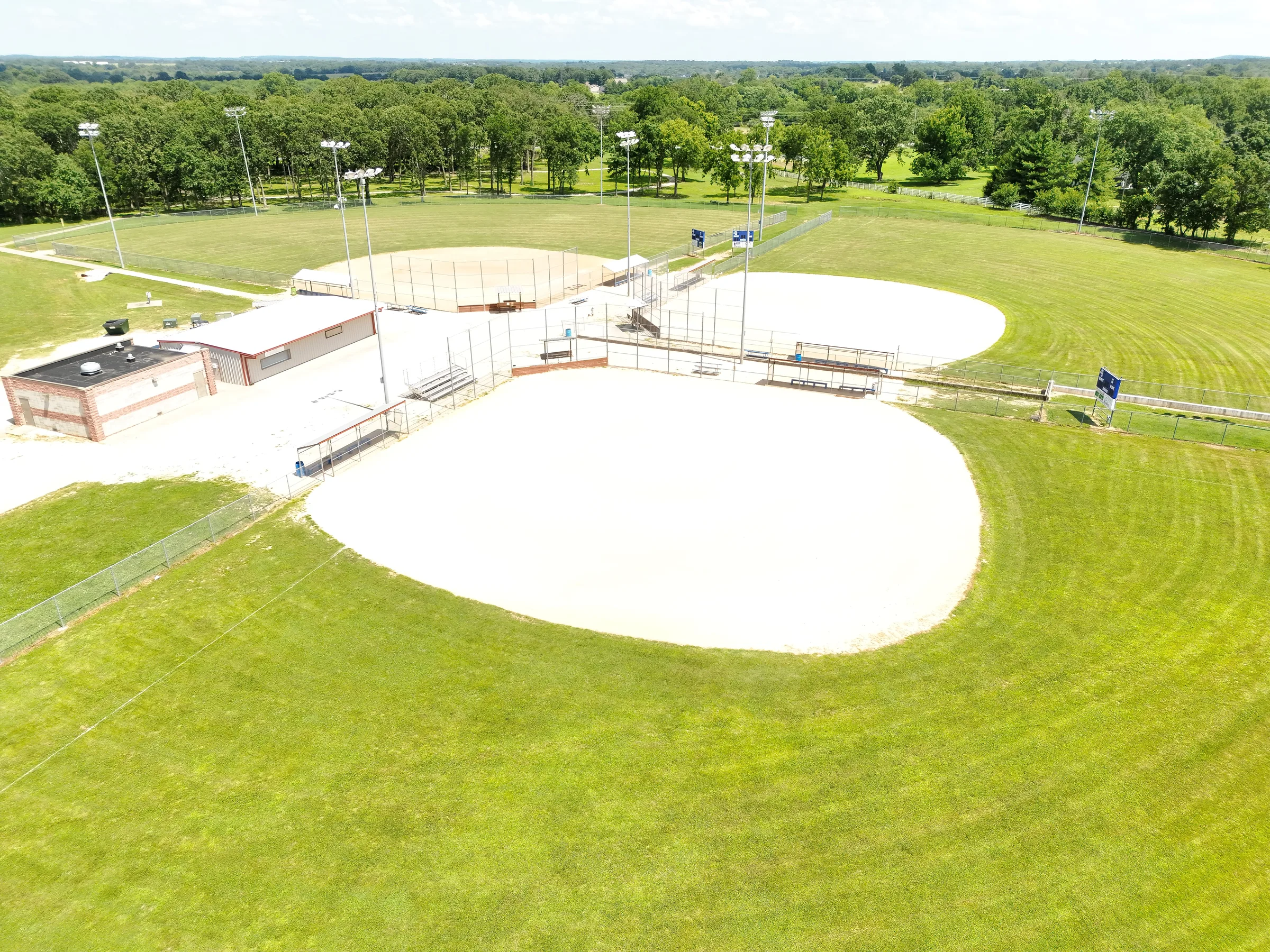
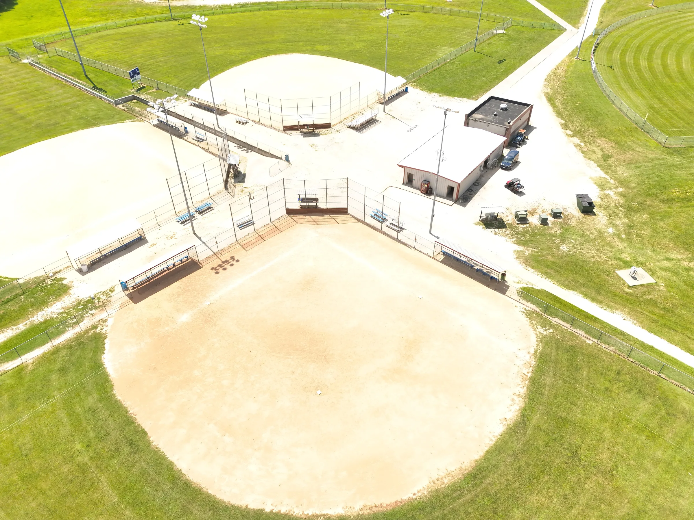
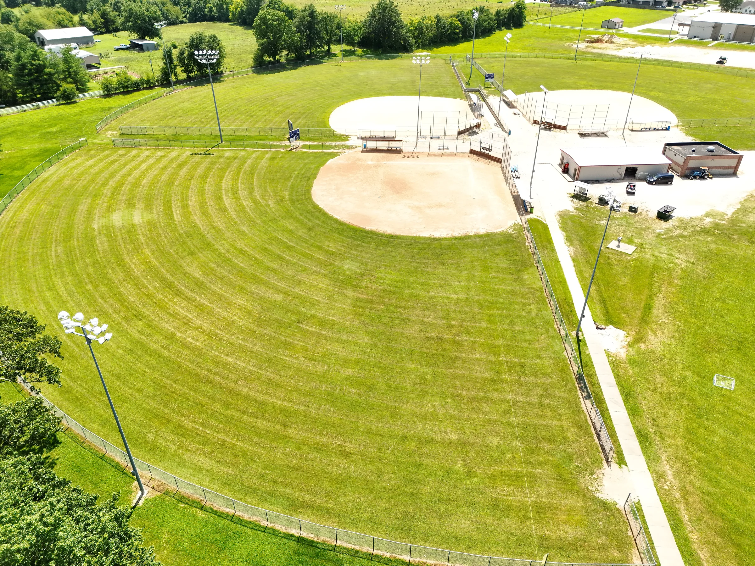
Oblique imagery records how the diamonds, paths, shared buildings, and surrounding outfields connect beyond the overhead map.
One orthomosaic
One current site view, organized for planning.
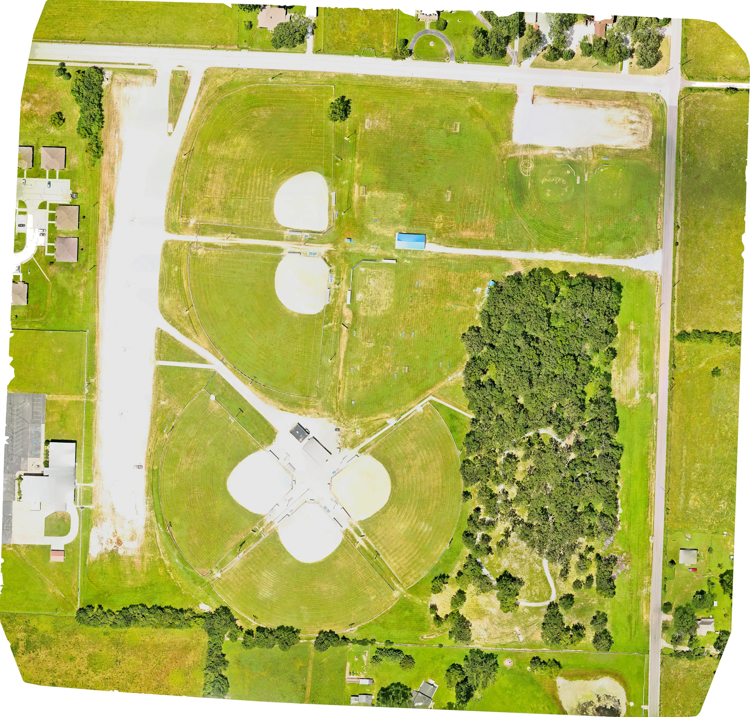
The source imagery stays fixed while the main parking, overflow parking, infield, and outfield references can be switched on or off independently.
Interactive planning map
One site view. Four independent layers.
Use the controls to isolate the two conceptual parking areas or compare infield and outfield planning lines.
Planning snapshot
- Estimated parking
- 466385 main + 81 overflow conceptual spaces.
- Walking trail
- 2,095 ftApproximately 0.40 mi mapped as a planning reference.
- Field line pairs
- 5Visible infield and outfield planning-reference pairs.
- Buildings mapped
- 3Visible footprints organized as site references.
Visible layers
4 of 4 planning layers visible.
Parking layout
10 × 18 ft conceptual stalls
- Main lot
- 385 spaces · 2.79 mapped acres
- Overflow
- 81 spaces · 0.81 mapped acres
466 conceptual spaces combined, with drive aisles included.
Field references
Visible line estimates
- Typical outfield
- 310–325 ft
- NW / open edge
- 390 ft
- Infield
- 140–155 ft
Record contents
What this planning view includes
- One current site-wide orthomosaic
- Independent main and overflow parking layers
- Independent infield and outfield planning-line layers
- Oblique aerial imagery for field and facility context
Accuracy boundary: RTK-capable imagery was used without surveyed ground-control or independent check points.
Conceptual parking excludes final ADA layout, signed fire lanes, curb cuts, or engineering constraints; it is not a final site plan or guaranteed capacity.
Capture to planning record
Current imagery, then clearly separated references.
- 01
Capture repeatable nadir imagery across the ball-field complex with an RTK-capable workflow.
- 02
Process the imagery into a current orthomosaic, then review visible field, path, parking, and building features in GIS.
- 03
Translate the technical map into independent parking, infield, and outfield planning layers with clear non-survey limits.
Need one clear view of a complex site?
Send the location, planning question, and intended audience. TwoBit Aerial can recommend an imagery and mapping package with the right context and review limits.