Site-wide mapIllustrative service visualCurrent overhead orthomosaic
Service brief
Purpose / audience / scope
The service at a glance.
01
What it is for
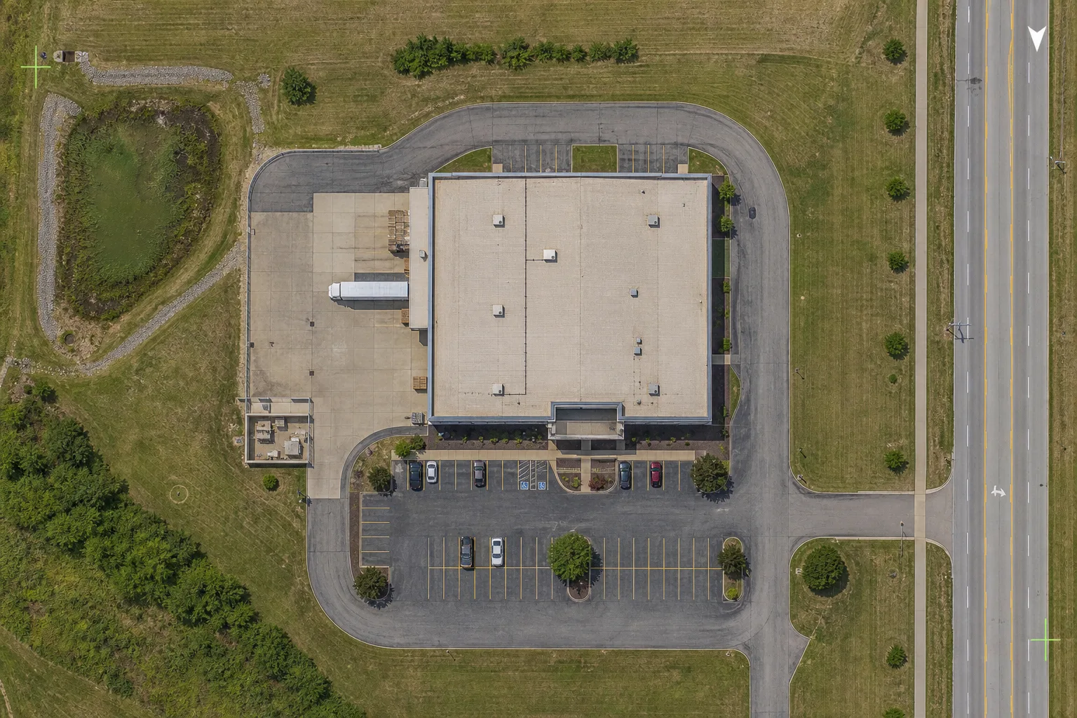
Orthomosaic mapping turns site capture into a clear, reviewable overhead image that helps teams orient themselves quickly and keep a cleaner visual record.
Site overview
Planning support
Property documentation
Progress comparison over time
Land and development context
02
Who uses it
Best fit for project teams, property owners, developers, and planners who need an export-ready site view.
Developers
General contractors
Commercial property owners
Project planners
03
What is included
The scope is shaped around practical records, clear review needs, and the agreed deliverable package.
Flight planning around site size and coverage goals
Processing into organized map imagery
Delivery-ready exports and review files
Deliverables
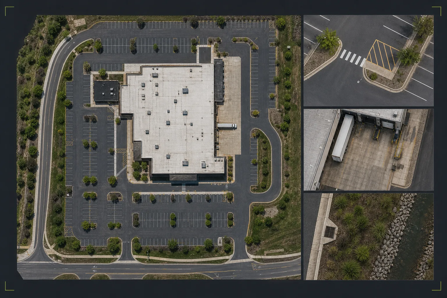
A current overhead reference, built as one coherent image.
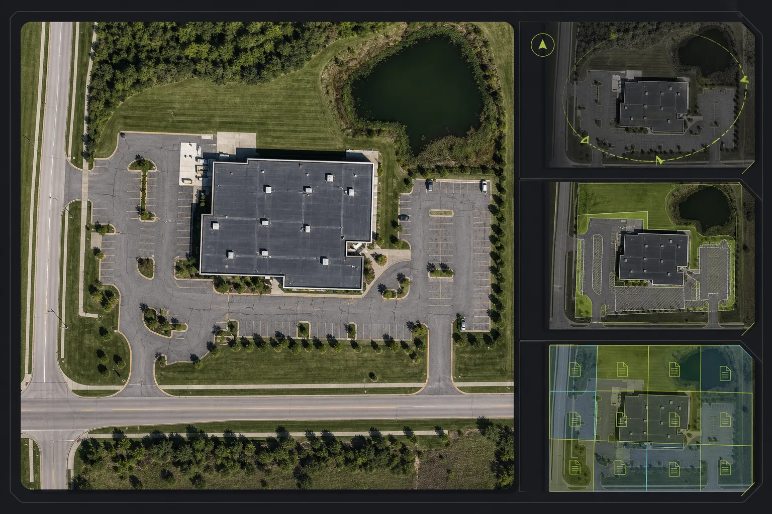
The package can combine the map itself, orientation references, agreed overlays, and delivery notes without implying survey authority.
Map deliveryIllustrative service visualOrthomosaic delivery structure
01Orthomosaic image deliverablesFlight planning around site size and coverage goals
02Export-ready map imageryProcessing into organized map imagery
03Organized files for review and planningDelivery-ready exports and review files
Representative deliverable preview
See what the package can contain.
Preview only. Final page count, file types, notes, and source imagery are shaped around the actual site, audience, and review goal.
Recurring comparison capturesSupporting progress photosSupplemental site documentation imagery
Scope, area, and pricing
Quoted around the actual site.
TwoBit Aerial is based in Bolivar, Missouri. Pricing includes travel for most jobs within 30-45 minutes of Bolivar, Missouri. Jobs farther out may include a travel charge based on distance, drive time, and scope.
Service area
TwoBit Aerial is based in Bolivar, Missouri. Pricing includes travel for most jobs within 30-45 minutes of Bolivar, Missouri. Jobs farther out may include a travel charge based on distance, drive time, and scope.
Most straightforward local jobs fall inside the included travel range used by the published pricing.
Distance, drive time, and scope determine whether additional travel needs to be added.
Larger commercial, recurring, or multi-site scopes can still be priced cleanly without a rigid public fee table.
Pricing approach
Smaller, clearly defined mapping scopes can support starting-at pricing, while broader or more complex sites may shift to quote-based pricing.
From $650; final quote depends on property, timing, travel, and deliverable expectations.
Orthomosaic production workflow
From overlapping capture to one usable site map.
01Scope
Define the map extent
Confirm the area, intended use, desired output, surrounding context, and accuracy expectations.
02Capture
Plan overlapping coverage
Set flight height, overlap, control approach, and site access around the agreed map footprint.
03Review
Process and quality review
Build the stitched overhead image and check coverage, alignment, clarity, and known limitations.
04Deliver
Deliver map-ready files
Provide the agreed image exports, supporting views, and practical notes for planning or record use.
Map-style documentation, not a legal boundary product.
TwoBit Aerial keeps public deliverables framed as documentation, screening, planning support, and reference material.
FAA Part 107
Commercial operations start from a Part 107 baseline.
Output-first scoping
Capture and processing are planned around the map, model, or site record the team actually needs.
Accuracy set by scope
Resolution, alignment, visible coverage, and known limits are discussed before the work is quoted.
Non-survey support
Maps, models, overlays, and site records do not establish legal boundaries or engineering authority.
Scope-dependent quotes
Final pricing depends on site size, access, travel, timing, and requested deliverables.
FAQ
Common questions before quoting.
What is an orthomosaic map useful for?
An orthomosaic map is useful for site-wide context, planning conversations, property documentation, progress comparison, and sharing a clear overhead view with stakeholders.
What do orthomosaic deliverables include?
Deliverables typically include export-ready map imagery plus organized supporting files, with the exact format set by the review or planning need.
What affects orthomosaic mapping pricing?
Pricing is affected by site size, coverage requirements, processing expectations, access, travel, and whether recurring comparison or supporting photo documentation is included.
Send the project details.
Share the location, deliverable goal, timing, and any existing photos or plans. TwoBit Aerial will shape the scope around the actual property or project.