Practical site records

Drone site documentation for a clear point-in-time record.

For contractors, owners, developers, and property teams who need an organized visual record of the site as it exists on a specific date.

FAA Part 10730-45 min includedFrom $350
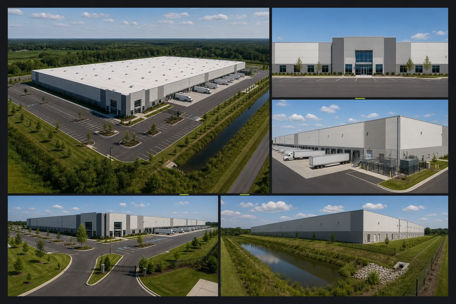
Illustrative aerial point-in-time record of a commercial site showing buildings, access, staging areas, drainage, perimeter, and surrounding context.
Current site recordIllustrative service visualPoint-in-time site record

Service brief

Purpose / audience / scope

The service at a glance.

01

What it is for

Site documentation is one of the most practical commercial services on the site. It is built around repeatability, file organization, and visibility that stays useful long after the flight date.

  • Existing conditions
  • Pre-project records
  • Progress records
  • Property and development visibility
02

Who uses it

Strong fit for owners, contractors, developers, and teams maintaining a clean project record.

  • Commercial property owners
  • General contractors
  • Developers
  • Project stakeholders
03

What is included

The scope is shaped around practical records, clear review needs, and the agreed deliverable package.

  • Repeatable capture planning
  • Labeled image organization
  • Straightforward delivery built for later reference

Deliverables

A site record that is easy to orient and easy to revisit.

Overview, perimeter, access, and selected detail views are organized around one date and one review purpose.

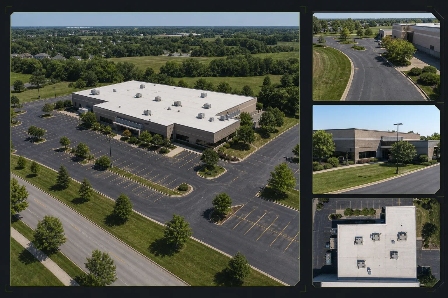
Illustrative site-documentation composition with a primary aerial overview, perimeter and access references, selected details, and date-based file organization.
Site record structureIllustrative service visualIndexed site documentation set
  1. 01Organized aerial imageryRepeatable capture planning
  2. 02Labeled filesLabeled image organization
  3. 03Recurring comparison sets where applicableStraightforward delivery built for later reference

Representative deliverable preview

See what the package can contain.

Preview only. Final page count, file types, notes, and source imagery are shaped around the actual site, audience, and review goal.

01Site overview
02Perimeter set
03Detail index
04Dated folders
Point-in-time record / 08Dated site documentation record
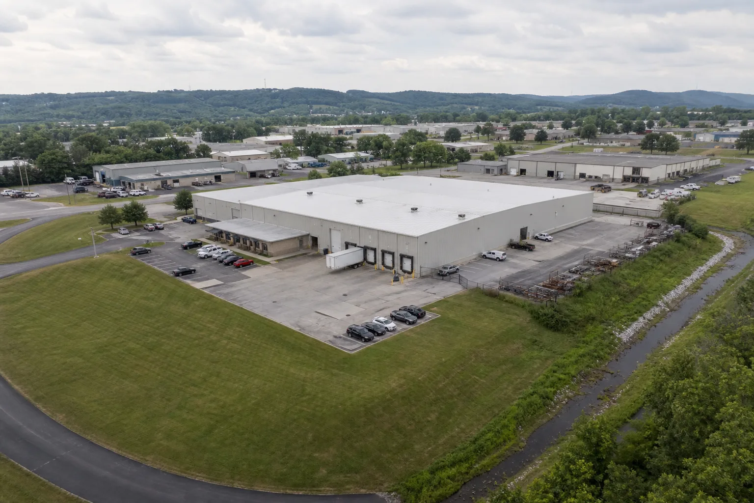
Illustrative commercial site-documentation package with a dominant property overview and focused access-lane, building-exterior, and rooftop context views.
Site record packageIllustrative service visual

A dated site record organizes overview, perimeter, access, and selected detail views for later reference.

Package index

  1. 01Record overviewThe full site and capture date establish a clear point-in-time reference.
  2. 02Perimeter and accessApproaches, staging, drainage, and visible site limits stay organized.
  3. 03Selected detailsFocused references remain connected to a location or review purpose.
  4. 04File indexFolders and labels make the record easy to revisit or share later.
Delivery shapeFinal contents follow the agreed scope.
  • Date-based organization
  • Location-aware image groups
  • Visual record, not survey

Optional add-ons

Add-ons stay scoped around the job.

Milestone or recurring update packagesCurated stakeholder-ready setsMap or model add-ons when useful

Scope, area, and pricing

Quoted around the actual site.

TwoBit Aerial is based in Bolivar, Missouri. Pricing includes travel for most jobs within 30-45 minutes of Bolivar, Missouri. Jobs farther out may include a travel charge based on distance, drive time, and scope.

Service area

TwoBit Aerial is based in Bolivar, Missouri. Pricing includes travel for most jobs within 30-45 minutes of Bolivar, Missouri. Jobs farther out may include a travel charge based on distance, drive time, and scope.

  • Most straightforward local jobs fall inside the included travel range used by the published pricing.
  • Distance, drive time, and scope determine whether additional travel needs to be added.
  • Larger commercial, recurring, or multi-site scopes can still be priced cleanly without a rigid public fee table.

Pricing approach

Starting-at pricing works well when the documentation scope is straightforward and the output needs are clearly defined.

  • From $350; final quote depends on property, timing, travel, and deliverable expectations.

Point-in-time documentation workflow

Decide what future reviewers will need to locate quickly.

  1. 01Scope

    Define the record date and purpose

    Confirm the site, intended viewers, visible priorities, and how the point-in-time record will be used.

  2. 02Capture

    Plan a complete site sweep

    Set overview, perimeter, access, and selected detail viewpoints around site operations and constraints.

  3. 03Review

    Capture orientation and detail

    Pair broad context with focused references so later reviewers can locate each selected area.

  4. 04Deliver

    Index the site record

    Organize imagery by location, view direction, or subject so the package remains easy to use later.

Local. Professional. Claim-safe.

A clear visual record, not a survey or condition certification.

TwoBit Aerial keeps public deliverables framed as documentation, screening, planning support, and reference material.

FAA Part 107

Commercial operations start from a Part 107 baseline.

Output-first scoping

Capture and processing are planned around the map, model, or site record the team actually needs.

Accuracy set by scope

Resolution, alignment, visible coverage, and known limits are discussed before the work is quoted.

Non-survey support

Maps, models, overlays, and site records do not establish legal boundaries or engineering authority.

Scope-dependent quotes

Final pricing depends on site size, access, travel, timing, and requested deliverables.

FAQ

Common questions before quoting.

How is site documentation different from construction progress monitoring?

Site documentation creates a focused point-in-time record. Construction progress work is planned around recurring visits, repeatable viewpoints, or defined milestones.

What can a site documentation package include?

A package can include site overviews, access and perimeter context, selected ground-feature references, labeled image groups, and agreed notes or callouts.

Can site documentation establish property boundaries or legal conditions?

No. Any overlays or location references are approximate planning aids unless a separate licensed survey workflow provides authoritative boundary information.

Send the project details.

Share the location, deliverable goal, timing, and any existing photos or plans. TwoBit Aerial will shape the scope around the actual property or project.