Broad infrastructure support

Drone infrastructure inspection documentation.

For municipalities, cooperatives, contractors, utilities, facility teams, and asset owners who need clearer visual access before engineering or maintenance review.

FAA Part 10730-45 min includedCustom quote
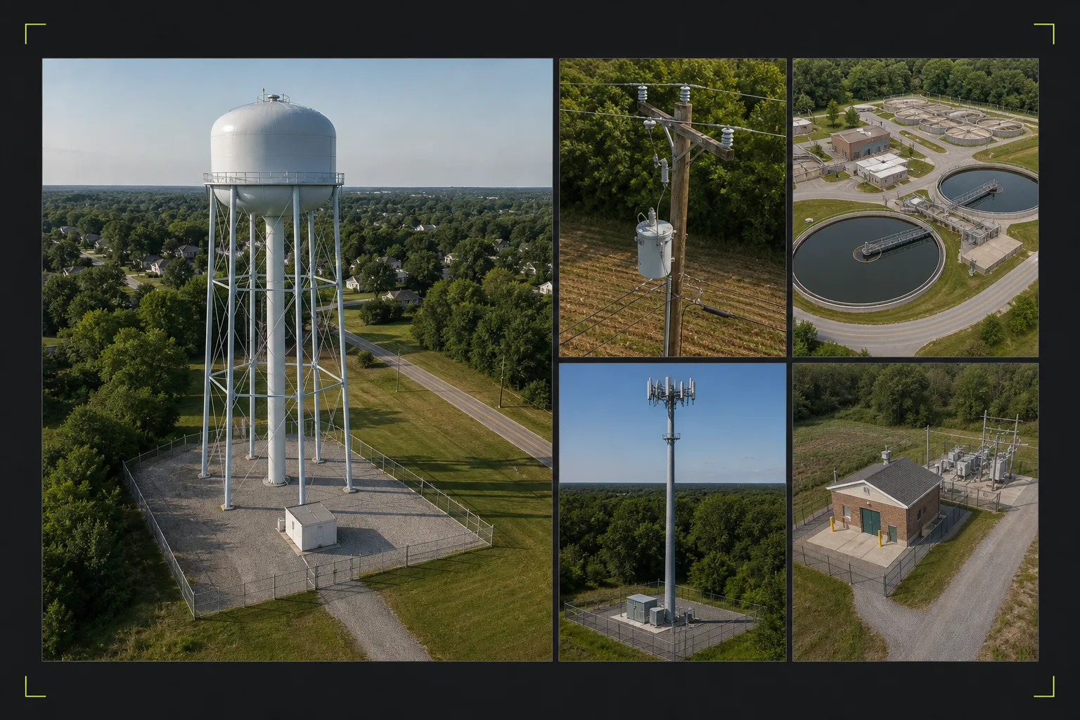
Illustrative aerial infrastructure scene showing a water tower, water treatment facility, utility pole line, electrical facility, communications tower, access routes, and surrounding site context.
Asset visibilityIllustrative service visualInfrastructure asset context overview

Service brief

Purpose / audience / scope

The service at a glance.

01

What it is for

This service supports water towers, utility poles and distribution assets, water and wastewater treatment facilities, communications towers, and other difficult-access infrastructure. The focus is safe visual access, recurring capture when useful, and organized documentation for qualified review.

  • Water tower and elevated tank documentation
  • Utility pole and distribution asset visibility
  • Water and wastewater facility documentation
  • Cell tower and communications asset visibility
  • Difficult-to-access asset records
  • Project and maintenance planning context
  • Recurring visual documentation
02

Who uses it

Best fit for infrastructure owners, contractors, telecom teams, facilities stakeholders, and public-facing asset managers.

  • Infrastructure owners
  • Utility or facilities stakeholders
  • Contractors
  • Telecom teams
  • Property and asset managers
03

What is included

The scope is shaped around practical records, clear review needs, and the agreed deliverable package.

  • Scope-specific planning around asset type, access conditions, and review goals
  • Capture approach designed for safe visual access and organized review
  • Flexible deliverables shaped to the asset, stakeholder need, and agreed limits

Deliverables

Asset visibility that stays connected to site context.

The record pairs orientation, detail, repeatable viewpoints, and file organization without implying an engineering determination.

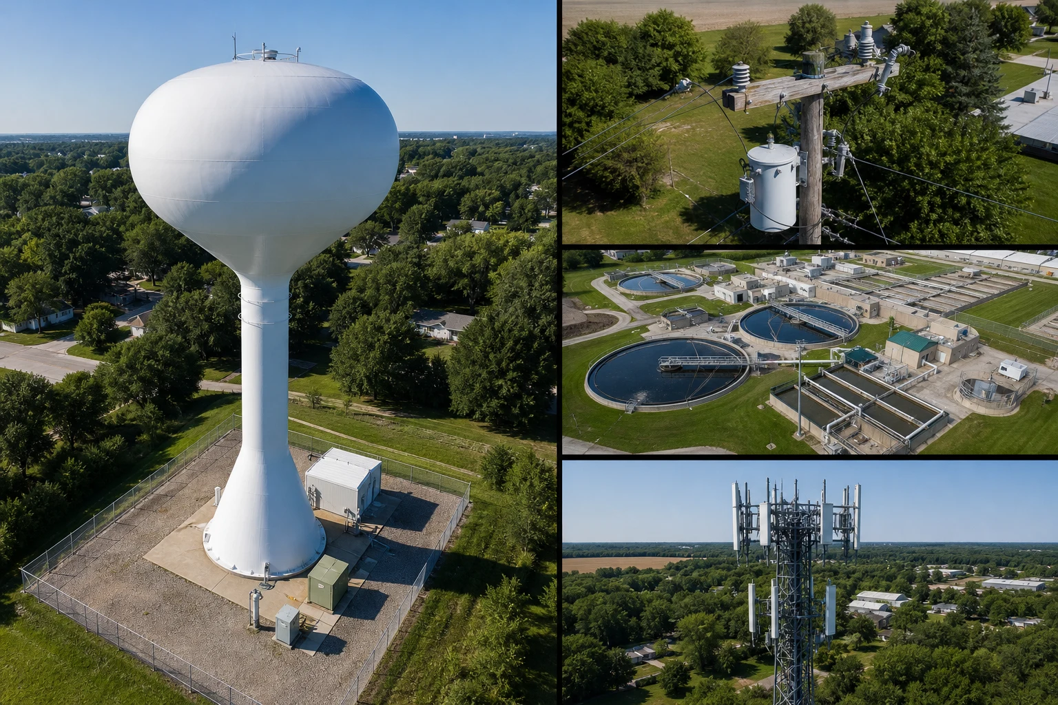
Illustrative infrastructure documentation board with water-tower, utility-pole, water-treatment-facility, cell-tower, and electrical-facility views arranged for qualified follow-up review.
Scoped asset recordIllustrative service visualAsset documentation coverage
  1. 01Asset overview image setScope-specific planning around asset type, access conditions, and review goals
  2. 02Detail reference capturesCapture approach designed for safe visual access and organized review
  3. 03Water, utility, treatment-facility, or communications asset referencesFlexible deliverables shaped to the asset, stakeholder need, and agreed limits
  4. 04Repeatable comparison records when scopedScope-specific planning around asset type, access conditions, and review goals
  5. 05Organized asset documentation packageCapture approach designed for safe visual access and organized review

Representative deliverable preview

See what the package can contain.

Preview only. Final page count, file types, notes, and source imagery are shaped around the actual site, audience, and review goal.

01Asset overview
02Component views
03Access context
04Asset index
Infrastructure asset record / 04Infrastructure asset documentation set
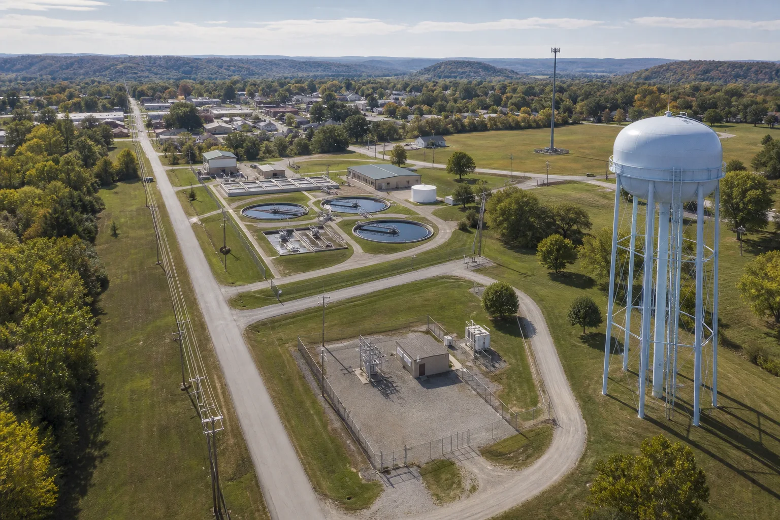
Illustrative infrastructure documentation montage showing a municipal water tower, utility pole and transformer, water treatment facility, and communications tower from aerial review angles.
Broad asset coverageIllustrative service visual

Asset-indexed imagery pairs whole-asset orientation with selected components, access context, and repeatable views.

Package index

  1. 01Asset orientationUtility, communications, water, wastewater, or facility assets are located in context.
  2. 02Component referencesVisible poles, towers, tanks, structures, or equipment are captured by scope.
  3. 03Access constraintsTraffic, obstacles, standoff, and surrounding operations remain documented.
  4. 04Qualified review indexFiles are organized for engineering, maintenance, or contractor follow-up.
Delivery shapeFinal contents follow the agreed scope.
  • Asset-by-asset organization
  • Repeatable views when practical
  • Visual record, not certification

Optional add-ons

Add-ons stay scoped around the job.

Recurring capture schedulesThermal screening where appropriateStakeholder-ready summary packaging

Scope, area, and pricing

Quoted around the actual site.

TwoBit Aerial is based in Bolivar, Missouri. Pricing includes travel for most jobs within 30-45 minutes of Bolivar, Missouri. Jobs farther out may include a travel charge based on distance, drive time, and scope.

Service area

TwoBit Aerial is based in Bolivar, Missouri. Pricing includes travel for most jobs within 30-45 minutes of Bolivar, Missouri. Jobs farther out may include a travel charge based on distance, drive time, and scope.

  • Most straightforward local jobs fall inside the included travel range used by the published pricing.
  • Distance, drive time, and scope determine whether additional travel needs to be added.
  • Larger commercial, recurring, or multi-site scopes can still be priced cleanly without a rigid public fee table.

Pricing approach

Infrastructure and utility work is generally quote-based due to scope variability, access considerations, and deliverable requirements.

  • Custom quote; final quote depends on property, timing, travel, and deliverable expectations.

Infrastructure documentation workflow

Plan the access before asking the imagery to answer anything.

  1. 01Scope

    Define the asset and review need

    Confirm whether the scope involves water, wastewater, utility, communications, or facility assets, along with requested components, site contacts, access constraints, and intended reviewer.

  2. 02Capture

    Plan safe viewing positions

    Set practical angles and standoff distances around airspace, obstacles, traffic, and site operations.

  3. 03Review

    Capture context and detail

    Pair whole-asset orientation with selected component references that remain clear to a qualified reviewer.

  4. 04Deliver

    Deliver an asset-indexed record

    Organize files by asset, component, angle, or visit so the documentation remains usable after delivery.

Local. Professional. Claim-safe.

Visual access for qualified review, not technical certification.

TwoBit Aerial keeps public deliverables framed as documentation, screening, planning support, and reference material.

FAA Part 107

Commercial operations start from a Part 107 baseline.

Documentation support

Overview, detail, and callout imagery support review without replacing a qualified hands-on inspection.

Context before detail

Selected close references remain connected to the wider property or asset so reviewers can orient quickly.

No technical determination

Imagery does not provide engineering, roofing, structural, utility, code, appraisal, or compliance conclusions.

Scope-dependent quotes

Final pricing depends on site size, access, travel, timing, and requested deliverables.

FAQ

Common questions before quoting.

Which infrastructure assets can be documented by drone?

Potential scopes include water towers, utility poles and distribution assets, water or wastewater treatment facilities, cell towers and other communications assets, exterior equipment, and other visible infrastructure where airspace, access, distance, and safety conditions support useful capture.

Does the imagery include an engineering or compliance conclusion?

No. The service provides visual documentation for qualified review. Engineering, utility, maintenance, code, and compliance conclusions remain with the responsible professional.

What affects infrastructure inspection pricing?

Asset height, site access, airspace, required viewing angles, standoff distance, number of assets, travel, and delivery organization all affect the quote.

Send the project details.

Share the location, deliverable goal, timing, and any existing photos or plans. TwoBit Aerial will shape the scope around the actual property or project.