01
What it is for
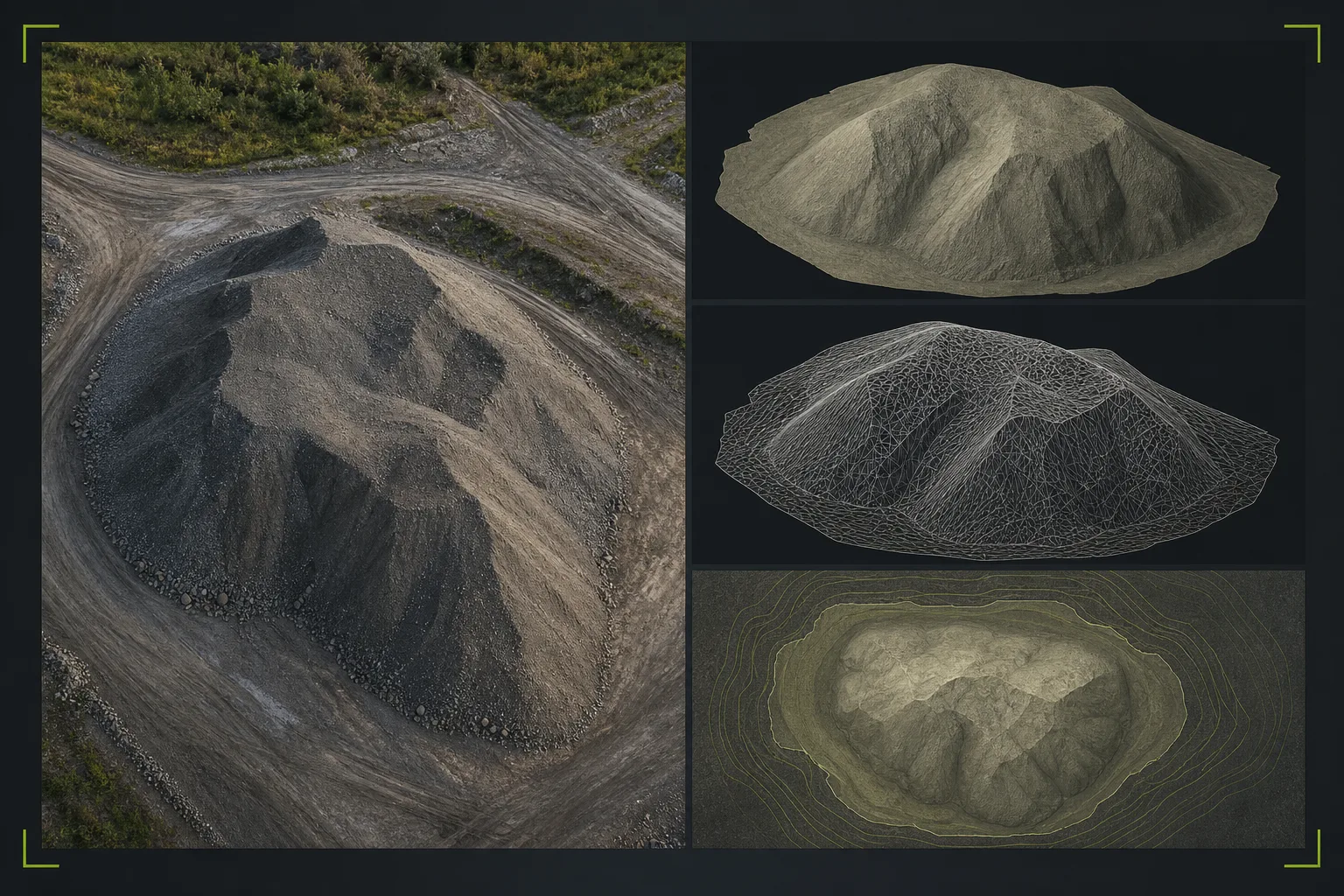
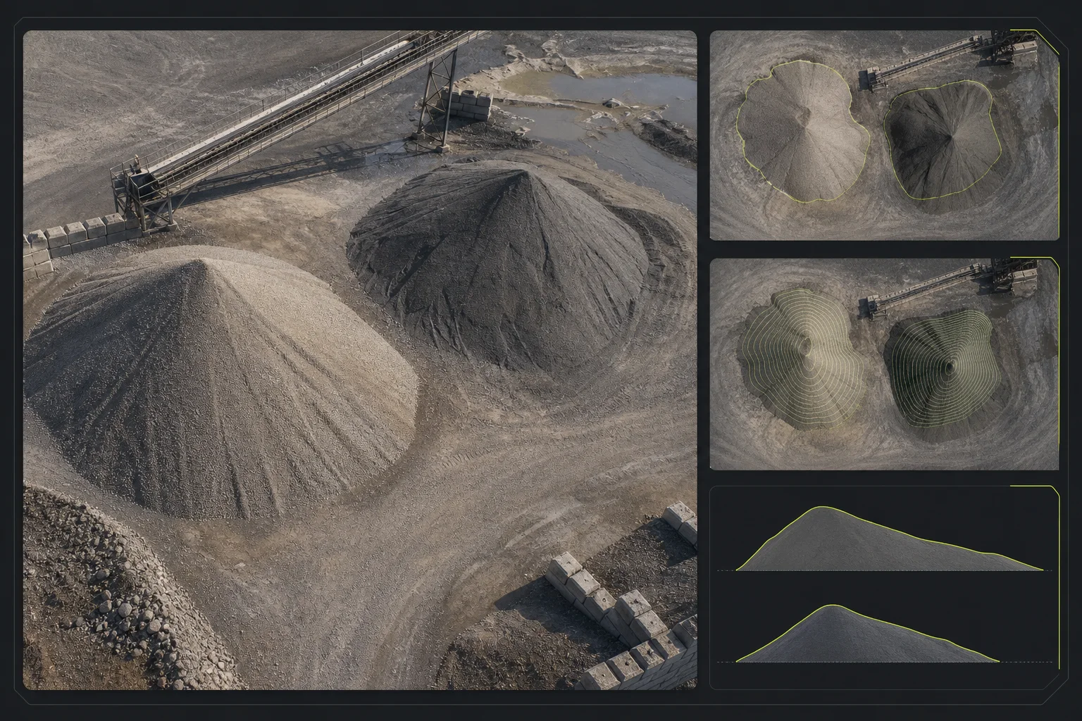
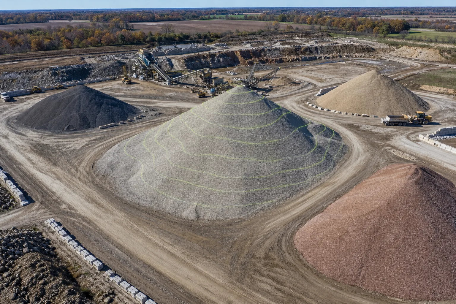
This service is framed around approximate volume calculations and supporting surface views. It is useful for planning support and visually grounded review, while staying honest about pile access, surface conditions, capture conditions, occlusions, and scope.
- Stockpile volume documentation
- Approximate volume calculations
- Earthwork documentation support
- Planning and reference support